Parque Natural de Urkiola · Ayuntamiento de Abadiño
Situación
Menú principal
Situación
Menú principal
Distance: 5,5 Km.
Approximate time (return): 2 hour 15 minutes.
Gradient: 480 m.
Difficulty: Low-medium.
Best time to visit: Spring, summer and autumn.
Points of Interest: Santo Cristo de Atxarte Chapel, stone bridge, ruins of the old Atxarte mill, limestone crags and rock birds.
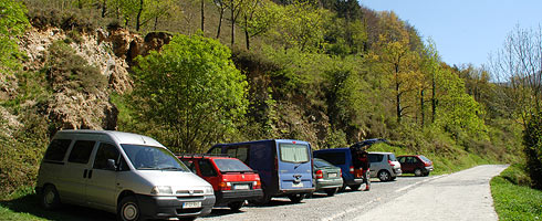
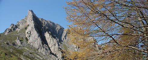
From the upper car park in Atxarte, slightly above the quarries, there is a well marked path to the left that rises steeply up through a hundred-year-old beech forest that covers the lower part of the southern slope of Aitz-Txiki. The Aitz-Txiki spurs rise up over the beech forest, and on a clear day, you will be able to see the ropes of the numerous climbers making their way up the vertical walls. The path then brings you to a wide path from the Intxaurralde farmstead. You will soon reach the Genzelai meadows, surrounded by some old beech trees and a huge pylon. Follow the power line to the Artola col. The path initially zig-zags through a stone quarry and then between grazing land and old beech trees.
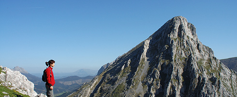
When you reach the Artola col, turn left and climb up through the stone quarries below the peak of Mount Aitz-Txiki. This stretch of the route is over the rocks and you should look for easiest way to reach the top.
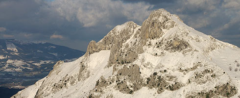
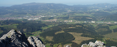
There is a spectacular view from the top down to the bottom of the Atxarte ravine and towards the Alluitz mass on the other side. There was a fort on the top of mount Aitz-Txiki in the Middle Ages, but just a few ruins of the walls are the only things that remain. If you are lucky, you wll see vulture soaring overhead, Egyptian vultures swooping in flight, flocks of choughs and an odd Dunnock near your rucksack looking for the odd crumb. You may also come across a climber who has just climbed the Aitz-Txiki spurs.
As you make your way down, you will realise just how far you have come up.
2006 - 2007 © Anteiglesia de Abadiño Town Council - All rights reserved